by Paul C. Sutton
‘‘Urban Sprawl’’ is a growing concern of citizens, environmental organizations, and governments. Negative impacts often attributed to urban sprawl are traffic congestion, loss of open space, and increased pollutant runoff into natural waterways. Definitions of ‘‘Urban Sprawl’’ range from local patterns of land use and development to aggregate measures of per capita land consumption for given contiguous urban areas (UA). This research creates a measure of per capita land use consumption as an aggregate index for the spatially contiguous urban areas of the conterminous United States with population of 50,000 or greater. Nighttime satellite imagery obtained by the Defense Meteorological Satellite Program’s Operational Linescan System (DMSP OLS) is used as a proxy measure of urban extent. The corresponding population of these urban areas is derived from a grid of the block group level data from the 1990 U.S. Census. These numbers are used to develop a regression equation between Ln(Urban Area) and Ln(Urban Population). The ‘scale-adjustment’ mentioned in the title characterizes the ‘‘Urban Sprawl’’ of each of the urban areas by how far above or below they are on the ‘‘Sprawl Line’’ determined by this regression. This ‘‘Sprawl Line’’ allows for a more fair comparison of ‘‘Urban Sprawl’’ between larger and smaller metropolitan areas because a simple measure of per capita land consumption or population density does not account for the natural increase in aggregate population density that occurs as cities grow in population. Cities that have more ‘‘Urban Sprawl’’ by this measure tended to be inland and Midwestern cities such as Minneapolis–St. Paul, Atlanta, Dallas–Ft. Worth, St. Louis, and Kansas City. Surprisingly, west coast cities including Los Angeles had some of the lowest levels of ‘‘Urban Sprawl’’ by this measure. There were many low light levels seen in the nighttime imagery around these major urban areas that were not included in either of the two definitions of urban extent used in this study. These areas may represent a growing commuter-shed of urban workers who do not live in the urban core but nonetheless contribute to many of the impacts typically attributed to ‘‘Urban Sprawl’’. ‘‘Urban Sprawl’’ is difficult to define precisely partly because public perception of sprawl is likely derived from local land use planning decisions, spatio-demographic change in growing urban areas, and changing values and social mores resulting from differential rates of international migration to the urban areas of the United States. Nonetheless, the aggregate measures derived here are somewhat different than similar previously used measures in that they are ‘scale-adjusted’; also, the spatial patterns of ‘‘Urban Sprawl’’ shown here shed some insight and raise interesting questions about how the dynamics of ‘‘Urban Sprawl’’ are changing.
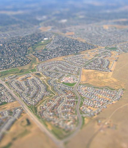 |
| Urban and suburban sprawl in Denver, by S Reilly |
more about urban sprawl:
No comments:
Post a Comment