The following documentarey film shows concerns about the suburban sprawl trend in the United States. The basic element of the American dream, which is the basis of the nation's urban and suburban sprawl is automobile. The the same trend of motorization the we have today, the Vehicle Miles Traveled (VMT) in 2025 in the country will be 58% more than today. The money needed for building more transportion and residence infrastructure is becoming more and the transportation facilities are becoming older. Therefore the necessary investments for the future developments will be more. The films discusses similar debates about urban sprawl. It has mainly a look at the policy makers and decision takers. It takes 1 hour and 22 minutes to watch the film which is presented by Motion Pictures. The director is David M. Edward.
Saturday, April 28, 2012
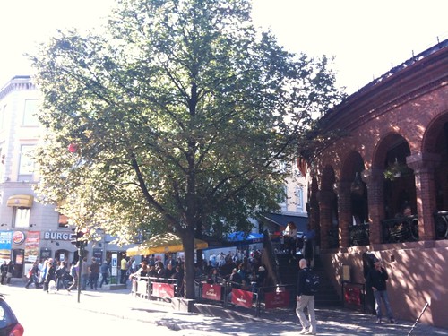
Documentary film: Sprawling from Grace: The Consequences of Suburbanization
Wednesday, April 25, 2012
Walking and cycling for sustainable mobility in Singapore
by Koh, P.P., Wong, Y. D., Chandrasekar, P. and Ho, S.T.
Singapore, a small island of 712 km2 and a population of over 5 millions in 2010, has seen the rising importance of non-motorised transport (in particular walking and cycling), as part of the fresh impetus to de-carbonize its environment. The land-scare country, with recent, substantive population growth and tight planning population (pegged at 6.5 millions), needs comprehensive planning of its inhabitants’ mobility in future. Non-motorised transport could be one of the viable solutions. This paper summarises the current development of non-motorised transport facilities in Singapore. It also discusses the usage behaviour of pedestrians and cyclists. An acceptability matrix to assess the operating characteristics of shared footways is developed. Several key factors that influence the choice behaviour between walking versus cycling are established.
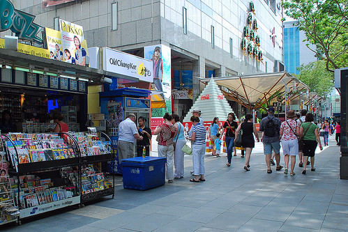
more about Singapore:
Skyline photos of Singapore 1
New Urbanists Who Admire Singapore’s Urban Planning
Towards a Sustainable Transportation Environment: The Case of “Pedicabs” and Cycling in the Philippines
by Brian C. Gozun and Marie Danielle V. Guillen
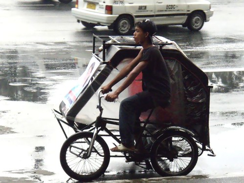
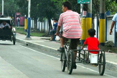
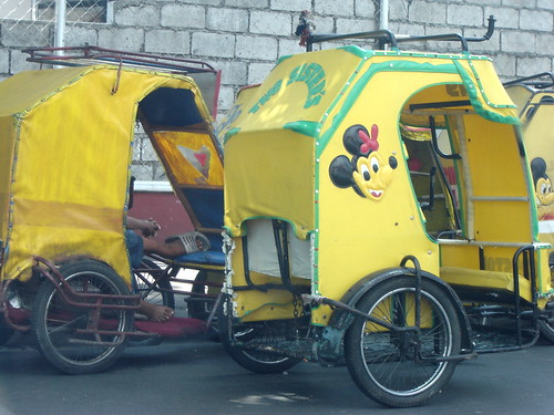
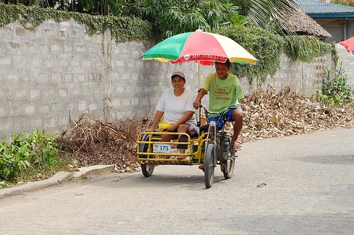
Various studies have confirmed the numerous advantages of non-motorized transportation (NMT) especially on the environment and personal well-being of the commuter. Unfortunately its transportation modal share has always been negligible in the Philippines. Recently, the rapid rise in the price of oil and an overwhelming increase in environmental awareness have resurrected the interests of commuters, policymakers and transport planners on the use and promotion of NMT. This study analyzes the Philippine case by reviewing its overall NMT-related transport policies at the national and local levels and by investigating the use of pedicabs and bicycles in the country. The results reveal various sporadic initiatives in the promotion, use and regulation of NMT. Issues such as the lack of both hard and soft infrastructure (physical facilities and policies, respectively) serve as major impediments in the growth and development of NMT in the country. The challenge is to encourage different stakeholders in promoting NMT.
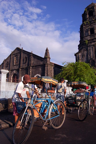
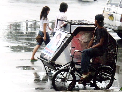
Pedicabs in Philippines:
more about sustainable transportation:
Sydney: monorail soon to be scrap metal?
Lessons from Freiburg on Creating a Sustainable Urban Community
Bike sharing around the world
Rent an electric bike in London
Towards a walkable city: the planning practice of Shenzhen, China
Bicycle policies of the European principals: continuous and integral
TOWARDS A SUSTAINABLE URBAN TRANSPORT SYSTEM: PLANNING FOR NON-MOTORIZED VEHICLES IN CITIES
by Geetam Tiwari
A sustainable transport system must meet the mobility and accessibility needs of people by providing safe and environmentally friendly modes of transportation. This is a complex and difficult task in the mega-cities of developing countries because the needs of people belonging to various income groups are not only different, but also often conflicting in nature. For example, if a large section of the population cannot afford to use motorized transport – private vehicles or public buses – they have to either walk to their place of work or use bicycles. Providing a safe infrastructure for cyclists and pedestrians means either physically segregating road space for cyclists and pedestrians from motorized traffic, or, if that is not possible, reducing the speed of motorized traffic. Both measures imply restricting the mobility of car users to ensure the mobility of bicycle users.
In this paper we show that pedestrians, cyclists and non-motorized rickshaws are the most critical elements in mixed traffic. If infrastructure design does not meet the requirements of these three all modes of transport operate in sub-optimal conditions. It is possible to redesign existing roads to provide a safe and convenient environment for non-motorized modes of transport. This also results in the improved efficiency of public transport vehicles and an enhanced capacity of the transport corridor when measured in number of passengers per hour per lane.
In this paper we show that pedestrians, cyclists and non-motorized rickshaws are the most critical elements in mixed traffic. If infrastructure design does not meet the requirements of these three all modes of transport operate in sub-optimal conditions. It is possible to redesign existing roads to provide a safe and convenient environment for non-motorized modes of transport. This also results in the improved efficiency of public transport vehicles and an enhanced capacity of the transport corridor when measured in number of passengers per hour per lane.
 |
| An intercity highway in South Korea, connecting Seoul and Ilsan |
Sustainable Urban Transportation A Winning Strategy for Canada
The eco-city: ten key transport and planning dimensions for sustainable city development
Accessibility Measures: Overview and Practical Applications
Environmental Correlates of Walking and Cycling: Findings From the Transportation, Urban Design, and Planning Literatures
Steps Forward: Review and Recommendations for Research on Walkability, Physical Activity and Cardiovascular Health
Friday, April 20, 2012
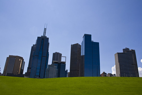
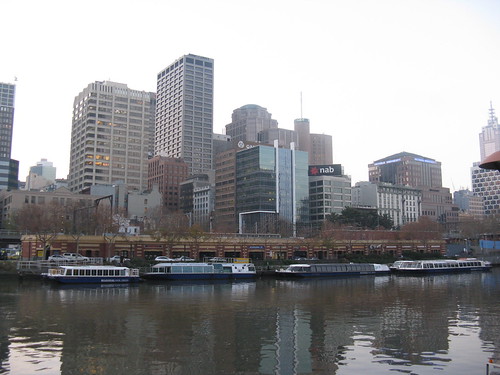
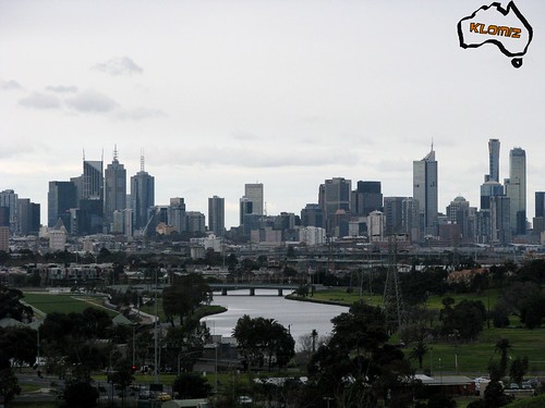
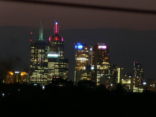
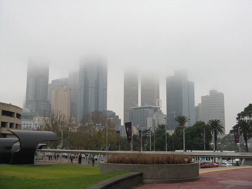
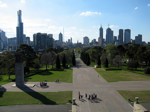
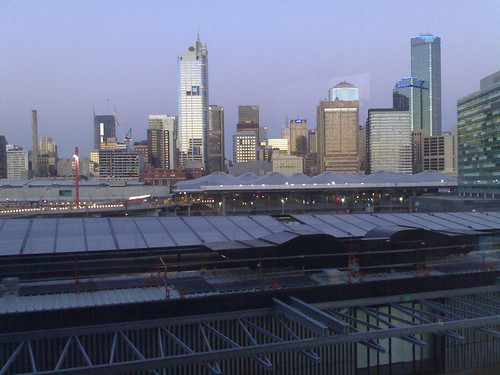
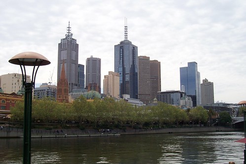
Skyline photos of Melbourne, Australia (1)


more skyline photos:
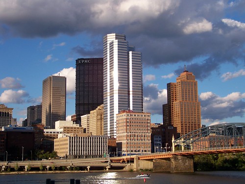
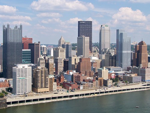
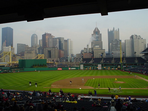
Skyline photos of Pittsburgh, Pennsylvania (2)
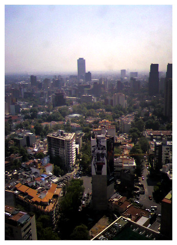
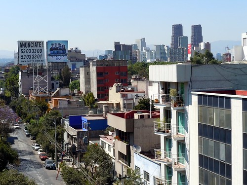
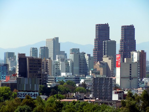
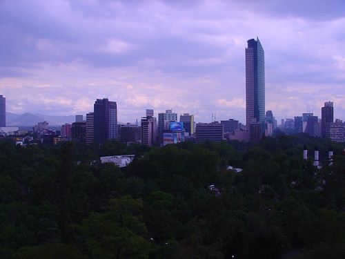
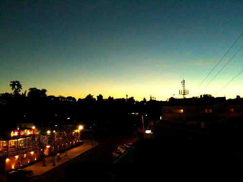
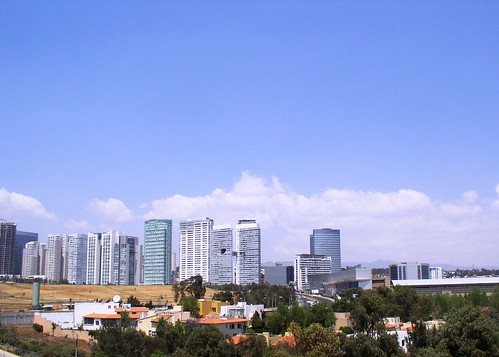
Skyline photos of Mexico City (1)
Skyline photos of Philadelphia (2)
Skyline photos of Tucson, Arizona
Skyline photos of Calgary 1
Skyline photos of Copenhagen, Denmark 1
Skyline photos of Ho Chi Minh City (Saigon) 1
Skyline photos of Vienna, Austria 1
Skyline photos of Sydney, Australia 1
Developing a geo-spatial urban form - travel behaviour model for the city of Ahmedabad, India
by Talat Munshi, Mark Brussel, and Mark Zuidgeest
Urban land use and transport planning and management are constant mutative interrelated processes. Even though, there is a growing body of research concerned with the relationship between urban and travel behaviour, studies. Since these studies originate from a diversity of sources and encompass a variety of geographic scales and locations and their contextual application need to be reviewed. This paper reviews urban form and travel behaviour relation in context of Ahmedabad city. A geo-spatial urban form and travel behaviour model is constructed using urban form data derived from conventional data sources like census and remote sensing and travel behaviour data from household survey for Ahmedabad city. The developed model would be able to position and relate urban form and travel behaviour indicator on strategic (planning, economic, social), spatial (block, ward, zone) and integration (individual or combined indicators) dimensions. The model developed would be able explain the inter-related urban and transport mutative process so as to monitor the effect of urban and transport interventions and policy implications.
read more about India:
Master of Architecture, Urban Design, University of Delhi, India
Bike sharing around the world
Urban Transport Trends and Policies in China and India: Impacts of Rapid Economic Growth
Q&A with Nirmal Kumar: Transforming Paratransit in India
Re-Imagining a New Urban India
Urbanization, Urban India and Metropolitan Cities in India
Urban Transport Sector in Developing Countries
The Effects of Teleshopping on Travel Behavior and Urban Form
by Christopher Erin Ferrell
This dissertation employs structural equation modeling (SEM) techniques to explore the tradeoffs people make when engaging in teleshopping activities from home. Using the Bay Area Travel Survey (BATS) 2000 this dissertation performs an activities analysis to investigate these relationships. Time use variables are included that predict the amount of time each individual spends during the day on work, maintenance, discretionary, and shopping activities, both in and outside of the home. These activities are used to predict the amount of shopping travel each person undertook. Results suggest that people substitute home teleshopping time for shopping travel time, and teleshoppers take fewer shopping trips and travel shorter total distances for shopping purposes. However, these effects are mainly “indirect” and appear to be mediated through two time-use variables – In-Home Maintenance and In-Home Discretionary activities. Home teleshoppers tended to spend more time on In-Home Maintenance and less on In-Home Discretionary activities than non-home teleshoppers.
Variables constructed to represent the degree to which people are “time-starved” from the demands of their work and maintenance activities revealed that female heads of households tend to home teleshop more, make more shopping trips and shopping trip chains, shop out-of-home more, and shop travel for longer periods than the rest of the survey population. A variable constructed to measure each survey participant household’s accessibility to shopping opportunities suggests that people who live in high retail accessibility areas tend to home teleshop slightly (but statistically significantly) more, take more shop trips, make more shop trip chains, and travel shorter total distances for shopping purposes than those who live in lower accessibility neighborhoods.
These results suggest that home teleshopping is primarily used as a tool to restructure a person’s daily activities participation, which in turn, restructures a person’s shop travel behavior. The degree to which someone is time-starved – particularly, female head of households – appears to play a role in determining the propensity to home teleshop as does a person’s relative accessibility to retail opportunities. While confirmatory analysis is necessary, these results suggest that activity-based travel demand models would benefit from the inclusion of home teleshopping, time-starved, and retail accessibility variables.
more about travel behavior:
Travel mode choice: affected by objective or subjective determinants?
Measuring Perceived Accessibility to Urban Green Space: An Integration of GIS and Participatory Map
Modelling Perceived Accessibility to Urban Amenities Using Fuzzy Logic, Transportation GIS and Origin-Destination Surveys
Research on Factors Relating to Density and Climate Change
Transitography 101: The Portland Metro – A Case Study on Regional Government
Neighborhood Design and the Accessibility of the Elderly: An Empirical Analysis in Northern California
OVERVIEW OF LAND-USE TRANSPORT MODELS
Building More Roads Does Not Ease Congestion
Thursday, April 19, 2012
Sustainable Urban Transportation A Winning Strategy for Canada
by Anne Golden and Natalie Brender
As The Conference Board of Canada noted in Mission Possible: Successful Canadian Cities, the fate of Canada’s cities is intimately bound up with the long-term prosperity and sustainability of the country as a whole. Among the core elements that make cities successful, efficient urban transportation networks are pivotal on several fronts. They are key to business investment and growth, since companies depend on the efficient movement of workers and goods around urban areas to maintain their competitiveness. And from a social and environmental perspective, the construction of integrated mass transit systems across urban regions provides an eco-friendly way for workers to commute to jobs in a reasonable length of time. This is particularly important as job locations shift from the downtown core (which is comparatively well served by existing mass transit systems) to dispersed suburban centres scattered throughout urban regions (which are extremely difficult or too distant to access by public transit, especially for workers commuting from one suburban region to another).
Opting for public transit is a winning strategy that increases the appeal and competitiveness of metropolitan regions. Public transit also has several positive spin-offs in terms of reducing traffic and improving the quality of life and health of citizens. Finally, public transit plays an important social role and for many households it represents an affordable and accessible means to get around the city.
Opting for public transit is a winning strategy that increases the appeal and competitiveness of metropolitan regions. Public transit also has several positive spin-offs in terms of reducing traffic and improving the quality of life and health of citizens. Finally, public transit plays an important social role and for many households it represents an affordable and accessible means to get around the city.
The beginning of 2007 has seen a reinvigorated debate about public transit and its funding, stemming from several important developments. The 2006 census confirms an ever-increasing number of Canadians living in urban areas—and a large proportion of that growth is located in suburbs and so-called “edge cities” rather than city cores. With these areas growing by 11 per cent between 2001 and 2006 (a rate twice the national average), worries about suburban sprawl and commuters’ quality of life have been underscored. In March, the Federation of Canadian Municipalities (FCM) and its Big City Mayors’ Caucus urged the federal government to create a national transit strategy that would boost federal transit funding to meet both environmental and competitiveness goals. March also saw the unveiling of the Toronto Transit Commission’s plan for a $2.4-billion light rail system that would comprehensively service the entire urban region—funding that has yet to be secured.
similar posts about public transportation:
Increasing the Quality of Public Transport in Prague
Dortmund Light Rail Developments, Germany
Sydney: monorail soon to be scrap metal?
Back to Basics for Detroit Light Rail
Tehran and the challenges of a metropolis in the millennium
The eco-city: ten key transport and planning dimensions for sustainable city development
Making existing cities and new urban development more ecologically based and liveable is an urgent priority in the global push for sustainability. This paper discusses ten critical responses to this issue and summarizes them in a simple conceptual model that places the nexus between transport and urban form at the heart of developing an eco-city. This involves compact, mixed-use urban form, well-defined higher-density, human-oriented centres, priority to the development of superior public transport systems and conditions for non-motorized modes, with minimal road capacity increases, and protection of the city’s natural areas and food-producing capacity. These factors form the framework in which everything else is embedded and must operate, and if they are not addressed only marginal changes in urban sustainability can be made. Within this framework, environmental technologies need to be extensively applied. Economic growth needs to emphasize creativity and innovation and to strengthen the environmental, social and cultural amenities of the city. The public realm throughout the city needs to be of a high quality, and sustainable urban design principles need to be applied in all urban development. All these dimensions need to operate within two key processes involving vision-oriented and reformist thinking and a strong, community-oriented, democratic sustainability framework for decision-making.
more about sustainable transportation:
Measuring Perceived Accessibility to Urban Green Space: An Integration of GIS and Participatory Map
Los Angeles Streetcars: A Push To Bring Back The Rich History Of Streetcars Begins In Downtown LA
Urban form and the ecological footprint of commuting. The case of Barcelona
New German community models car-free living
Paris to Allow Cyclists to Run Red Lights
Metroradruhr: Germany's Ruhr Valley Inter-City Bike Sharing
Bike Share: A slice of Paris in Chicago
Wednesday, April 18, 2012
Urbanization and Natural Disasters in the Mediterranean Population Growth and Climate Change in the 21st Century Case Studies on Izmit, Algiers and Alexandria
by Hans Günter Brauch
This paper analyzes the relationship between urbanization – in relation with population growth and climate change – (as causes) and natural disasters as outcomes of environmental stress for the Mediterranean region from 1900 to 2001 – with a specific focus at three case studies in Turkey, Algeria and Egypt. It includes trends of urbanization up to 2015/2030, for population growth up to 2050, and projections of climate change impact models until 2100 that will increase both the vulnerability to and impact of natural disasters. Based on a medium definition of the Mediterranean space (figure 1) that includes all Mediterranean riparian countries plus Portugal, Jordan and the former Yugoslav Republic of Macedonia (Brauch 2001, 2001a, 2003) this paper addresses both the increasing vulnerability of major cities to geophysical and hydro-meteorological disasters due to rapid urbanization combined with extreme poverty in most countries of the Middle East and North Africa (MENA).
more about urbanization:
Strategy for Sustainable Urban Development: A Case Study of Urmia City, Iran
Can Chongqing's Urbanization Survive China's Shrinking Workforce?
Analyzing Land Use Change In Urban Environments
Modeling the environmental impacts of urban land use and land cover change—a study in Merseyside, UK
Remote Sensing and Urban Growth Models – Demands and Perspectives
Urban Transport Trends and Policies in China and India: Impacts of Rapid Economic Growth
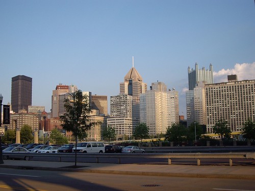
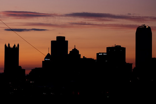
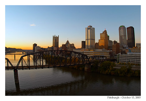
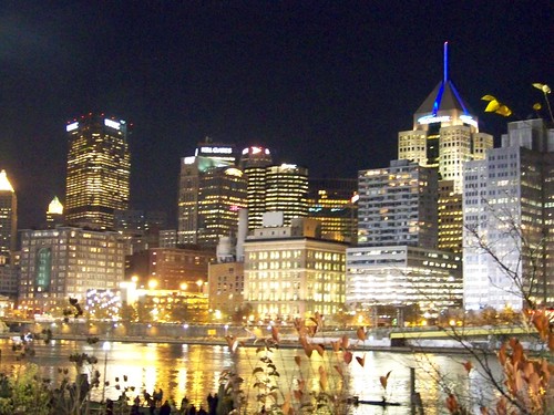
Skyline photos of Pittsburgh, Pennsylvania (2)
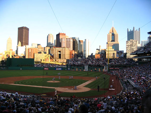
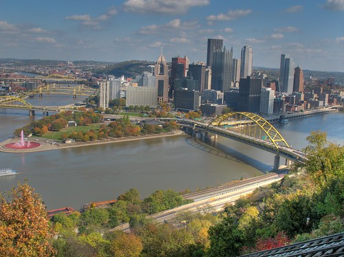
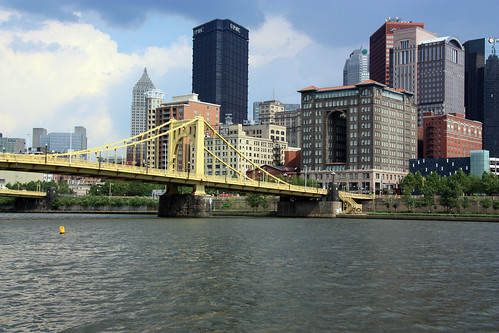
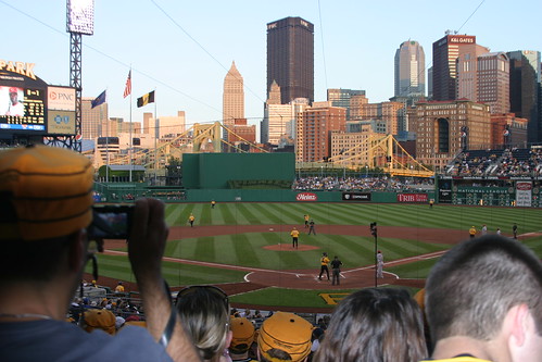

more skyline photos:
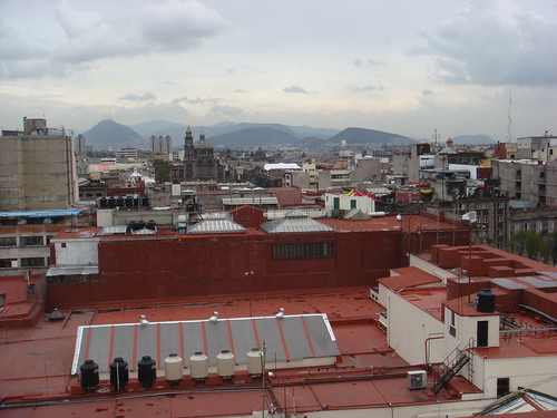
Skyline photos of Mexico City (1)
Skyline photos of Calgary, Canada (1)
Skyline photos of Tucson, Arizona
Skyline photos of Philadelphia (2)
Skyline photos of Prague, Czech Republic (2)
Skyline photos of Prague, Czech Republic (1)
Skyline photos of Sydney, Australia (2)
Skyline photos of Brussels, Belgium -1
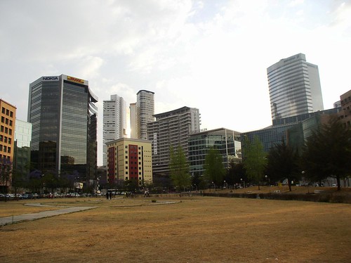
Skyline photos of Mexico City (1)

more skyline photos:
Skyline photos of Philadelphia (2)
Skyline photos of Tucson, Arizona
Skyline photos of Sacramento, California
Skyline photos of Philadelphia, Pennsylvania (1)
Skyline photos of Pittsburgh, Pennsylvania (1)
Skyline photos of Prague, Czech Republic (1)
Skyline photos of Montreal 1
Skyline photos of Manchester 1
Tuesday, April 17, 2012
Skyline photos of Philadelphia (2)
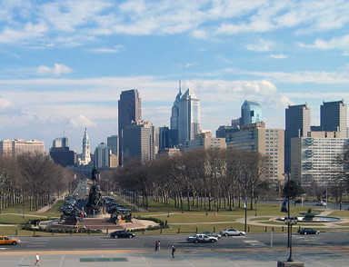
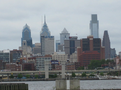
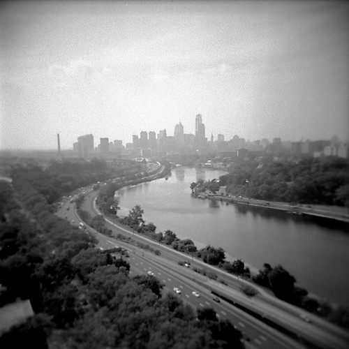

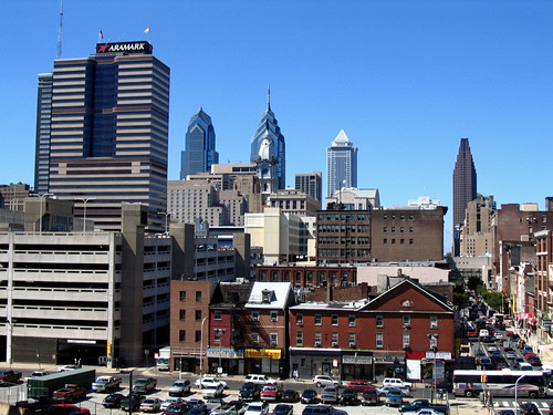

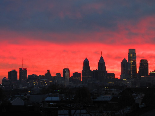
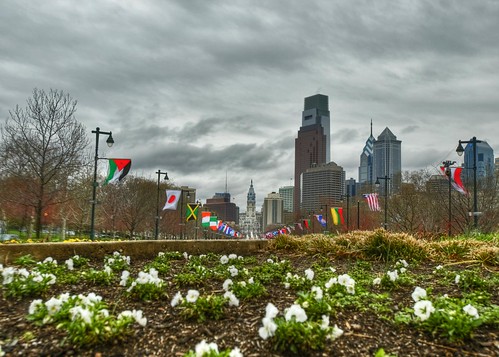
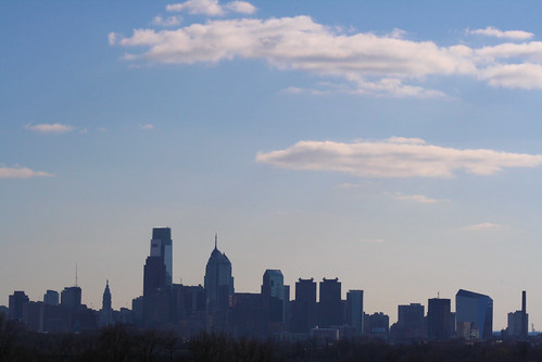
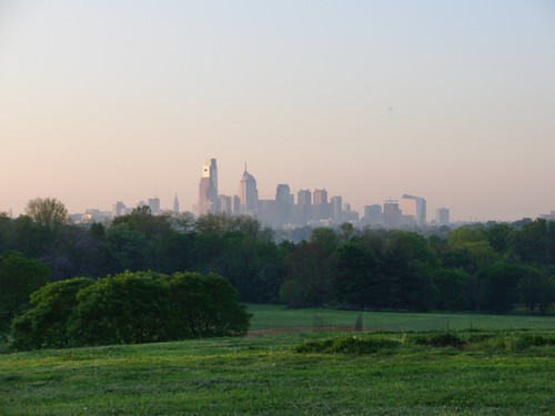
more skyline photos:
Skyline photos of Tucson, Arizona
Skyline photos of Sacramento, California
Skyline photos of Philadelphia, Pennsylvania (1)
Skyline photos of Miami, Florida (1)
Skyline photos of Portland, Oregon 1
Skyline photos of Marseille, France
Skyline photos of Hamburg, Germany 1
Skyline photos of Madrid 2
Subscribe to:
Posts (Atom)