By ELIZAVETA KHAZIEVA
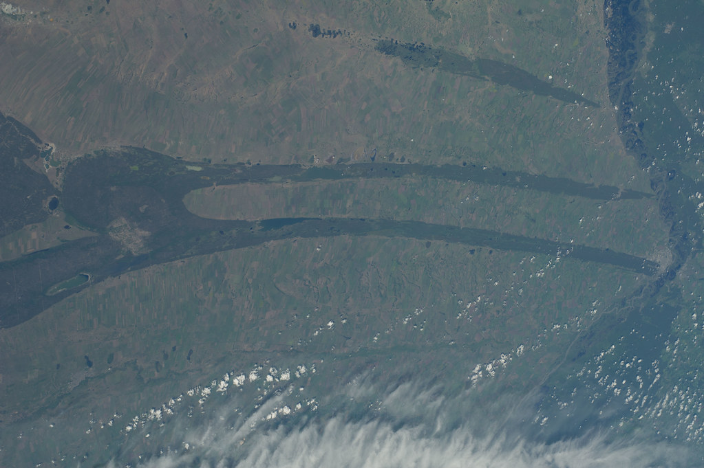
Nowadays there are many remote sensing methods and tools, which help to deeply understand the land cover processes on the large area without field researches. The cartographic modeling is one feasible way to analyze and deeply understand the data and processes which take place in the region. A combination of different data (such as remote sensing data, statistical information, historical maps and others), a knowledge of the territory ensures integral investigation, and a better demonstration of the result. There are many different approaches and models, one of them being thematic cartography. This is part of cartography focusing on natural phenomena, social, political and economic issues, combining visualization and exploration methods, and targeting and supporting different groups of users (Tikunov, 1997). Models are useful and used in a vastarray of GIS applications, from simple evaluation to the prediction of future landscapes. Cartographic modelling is a general methodology for the analysis and synthesis of geographical data. It employs what amount to an algebra in which single-factor maps are treated as variables that can be flexibly manipulated using an integrated set of functions (Paul et. al., 1991). The main trends of landscape changes is croplands decreasing especially in the 1990s, the situation beginning to improve by 2000 – 2006s. It probably has to do with the reforming procedure which had been started since the 1900s. Around 2000, the economic situation in Russia had stabilized again (Ioffe et al., 2008). For a better understanding of the impacts caused by political and economic developments on land use, further studies are necessary. The developed model has to be amended by adding some socio-economic data. It would help to better understand the process in a particular area and would allow to emphasize the drivers of changes more precisely.
More about GIS applications:

No comments:
Post a Comment