Like Urban Research on Facebook

Showing posts with label Pedestrianization. Show all posts

Monday, January 5, 2026

Why are some modern cities removing sidewalks? Are shared spaces good for mobility?

Some cities are getting rid of sidewalks—one of the fundamental elements of urban life? In a world where pedestrian safety and walkability are hot topics, the idea of removing sidewalks might sound crazy, dangerous, or even counterintuitive. After all, sidewalks are supposed to protect pedestrians from cars, create walkable communities, and encourage sustainable transport.

Yet, cities across the world—from London to Tokyo—have begun experimenting with shared space designs that eliminate sidewalks and traditional road boundaries altogether. This radical approach is intended to slow down traffic, reduce accidents, and create more engaging urban environments. But does it actually work? Let’s take a closer look at some of the most famous examples of sidewalk removal and what they can teach us about the future of city planning.


The Concept of Shared Space

The movement to remove sidewalks comes from a design philosophy called “shared space.” The idea was popularized by Dutch traffic engineer Hans Monderman, who argued that strict divisions between cars, pedestrians, and cyclists often make streets less safe. When drivers rely too much on traffic signals, curbs, and road signs, they pay less attention to their surroundings. However, when those barriers are removed, drivers become more cautious, slow down, and interact more with pedestrians.

Shared space isn’t just about removing sidewalks—it’s about removing signs, signals, and even road markings to create a more natural, organic flow of movement. Several cities have taken this approach to the extreme by completely eliminating sidewalks in key areas. Let’s explore some of the most notable examples.


1. Exhibition Road, London, UK

One of the most famous examples of sidewalk removal is Exhibition Road in London. This street, home to landmarks like the Natural History Museum and Victoria and Albert Museum, was once a congested, car-dominated area with traditional sidewalks and crosswalks.

In 2012, London redesigned the road, replacing sidewalks with a single-level surface covered in elegant granite paving. Pedestrians, cyclists, and cars now share the same space, with no clear separation between them.

These were the results:

  • Traffic speeds dropped significantly, making the area safer for pedestrians.
  • Pedestrian numbers increased by 30% as people felt more comfortable walking in the space.
  • Accidents decreased, proving that the shared space concept could actually improve safety.

But not everyone is a fan. Critics argue that it can be confusing for visually impaired individuals who rely on curbs for navigation.


2. Delft, Netherlands – The Birthplace of Shared Space

The Netherlands has been a global leader in shared space design. The city of Delft pioneered some of the first experiments in sidewalk-free urban planning, particularly in its historic city center.

What changed?

  • Sidewalks were removed to encourage seamless movement between pedestrians and vehicles.
  • Streets were narrowed to make cars naturally slow down.
  • Bicycle lanes and pedestrian-priority areas were emphasized.

The result? A more pedestrian-friendly environment, even though cars are still technically allowed to drive through. The city proved that removing sidewalks doesn’t necessarily mean reducing walkability—it can actually enhance it!


3. Bohmte, Germany – A Town Without Sidewalks

In 2007, the German town of Bohmte completely removed traffic lights, sidewalks, and road signs from its main street. The goal was to create a more organic and natural traffic flow where everyone—drivers, cyclists, and pedestrians—had to rely on eye contact and human interaction to navigate.

The effects were shocking:

  • The number of traffic accidents dropped drastically.
  • Average car speeds decreased to about 30 km/h (18 mph).
  • Pedestrians felt safer and more empowered in the space.

Bohmte’s success inspired other European cities to experiment with similar sidewalk-free zones.


4. Poynton, UK – Revitalizing a Town Center

The small town of Poynton in England had a major problem: its central intersection was choked with heavy congestion and pedestrian-unfriendly infrastructure. In 2012, urban planners removed traditional sidewalks, crosswalks, and even traffic lights, replacing them with a shared space design.

Key results:

  • Traffic congestion dropped significantly, even though cars still passed through.
  • Pedestrian movement became easier, with fewer barriers.
  • The local economy improved as people spent more time in the town center instead of rushing through.

Many locals initially hated the idea, but over time, they began to appreciate the slower speeds and improved pedestrian experience.


5. Tokyo, Japan – Transforming Sidewalks Into Public Spaces

In bustling Tokyo, sidewalks haven’t been removed completely, but in areas like Ginza, something different happens. On weekends, the city closes roads to cars and turns major streets into pedestrian-only zones.

By the numbers:

  • This concept, called “Hokōsha Tengoku” (Pedestrian Paradise), attracts over 100,000 pedestrians every weekend.
  • Major roads like Chuo-dori are converted into public plazas with seating, greenery, and open space.
  • Businesses along these streets see a surge in sales, as people spend more time shopping and dining.x

Tokyo’s experiment shows that cities don’t necessarily need to remove sidewalks entirely—instead, they can reimagine them as flexible spaces.


The Debate: Should More Cities Remove Sidewalks?

While these examples show promising results, the idea of removing sidewalks remains controversial. Critics argue that:

However, proponents argue that:

  • Shared spaces make streets safer by slowing down cars.
  • Pedestrians feel more empowered when they’re not restricted to narrow sidewalks.
  • Cities become more dynamic and engaging when traditional road divisions are removed.


Conclusion: The Future of Sidewalks

So, will sidewalks disappear completely in the future? Probably not. But urban planners are rethinking the role of sidewalks, transforming streets into more flexible, people-centered spaces. The success of cities like Delft, Bohmte, and London suggests that removing sidewalks can work in the right context—but it’s not a one-size-fits-all solution.

The real takeaway? Cities need to prioritize people over cars. Whether that means removing sidewalks, widening them, or redesigning streets entirely, the goal is the same: creating safer, more livable, and walkable urban environments.


Read more about pedestrianization:
The Association between Regular Use of Ridesourcing and Walking Mode Choice in Cairo and Tehran


Thursday, July 16, 2020

The Association between Regular Use of Ridesourcing and Walking Mode Choice in Cairo and Tehran

By Hamid Mostofi, Houshmand Masoumi, and Hans-Liudger Dienel

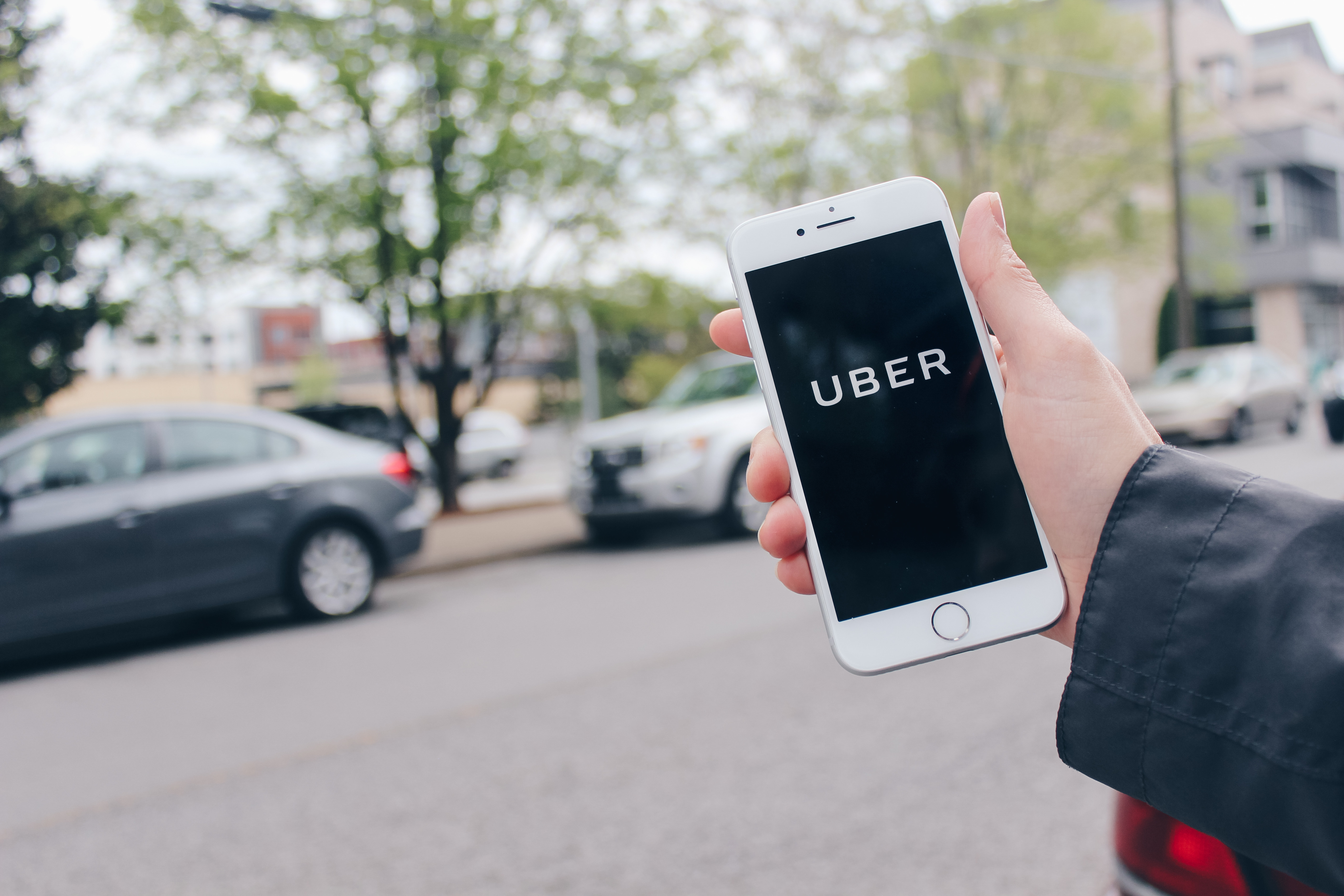
The rapid adoption of ridesourcing poses challenges for researchers and policymakers in the Middle East and North Africa (MENA), as it is an evolving new transport mode, and there is little research explaining its effects on mobility behaviors in this region. There is a concern that ridesourcing, which offers convenient and relatively cheap door to door services, encourages citizens to replace their sustainable travel modes, like walking, with car use. This effect has been studied relatively well in metropolises of the West, but less in the MENA agglomerations. This paper investigates whether regular use of ridesourcing impacts the walking mode choice in Cairo and Tehran. The analysis uses the results of 4926 face-to-face interviews in these two cities to compare the preference for using a vehicle instead of walking between regular users of ridesourcing and other motorized modes, including public bus, urban transit rails, private car, and traditional taxi. The findings indicate that in Cairo, the regular ridesourcing users are more likely than regular users of public transport to use a vehicle instead of walking inside their neighborhood. However, in both cities, ridesourcing users are less likely than regular private car users to replace walking by using vehicles.

Keywords: ridesourcing in the MENA region; walking mode choice; modal shift; the impact of ridesourcing on the nonmotorized mode


uber

More about urban planning and transportation in the Midde East:

Economic Impacts of Adopting a Sustainable Transport System in Beirut


Monday, September 9, 2019

Urban travel characteristics in relation with jobs-housing balance and accessibility: results of a survey in Lahore, Pakistan

By Sheikh Atif Bilal Aslam, Houshmand E. Masoumi, and Syed Arif Hussain

The circumstances of the relations of jobs-housing balance and urban travel behavior are not clear in emerging and developing countries. There are limited reliable data suitable for testing the hypotheses regarding the associations of the neighborhood-level number of employment opportunities in these countries. This manuscript summarizes the results of an explorative survey undertaken in Lahore, Pakistan to support empirical analyses testing these hypotheses. The survey was undertaken in spring 2018 in six neighborhoods of Lahore and collected the data of 417 respondents. The short questionnaire applied in the survey facilitated generation of 15 individual and household, socioeconomic, and mobility-related variables of different types. Moreover, 9 land use variables as well as jobs-housing ratios were estimated for each respondent within his/her 600-meter street-network pedestrian shed. The produced dataset reveals preliminary descriptive statistics about the relations of employment and travel behavior, particularly commuting, in a less-studied context of Pakistan. It is found that a decent job-housing balance at neighborhood scale alone cannot affect the travel pattern much in the Pakistani context. It needs to be supplemented with other planning interventions, mainly the accessibility to an integrated and efficient mass public transportation system, discouraging private car based policies and promotion of sustainable non-motorized travel modes. In the future, production of disaggregate mobility and land use data will add value to urban transportation research in the Global South.
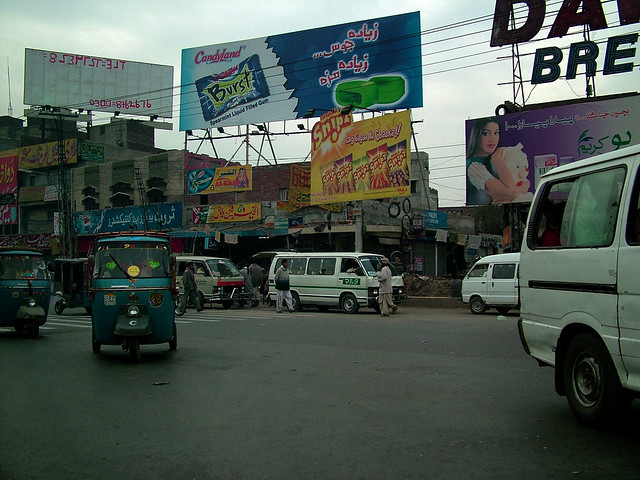
Street of Lahore
More papers about urban transportation in Asian cities:

Friday, September 6, 2019

Healthy cities — walkability as a component of health-promoting urban planning and design

By Minh-Chau Tran

 Health impairments due to inactivity are related to the car-oriented urban development of recent decades, along with sedentary lifestyles. A health-maintaining environment must therefore not only reduce direct health risk factors (pathogenic concept), but also contribute to health chances that may indirectly support health (salutogenic concept). Walking has been identified as the most influenceable behavior; it is also the most environmental-friendly mode of transport, social and health. From the planning view, the concept of walkability therefore aims at a built environment facilitating physical activity. It is increasingly recognized that walkability has become an important topic in the field of planning, urban design and health, since the built environment affects certain behaviors. From practice, concrete guidance is demanded as to the type of urban design features to be captured or applied to evaluate the walkability or to create active cities. The measurement of features of the built environment plays a special role in this context, but also the question of how research results can reach policies as well as planning and building practice.


Pedestrian Streets

More about walkability:

Active Mobility: Bringing Together Transport Planning, Urban Planning, and Public Health

Sunday, September 1, 2019

Urban Form and Mobility Choices: Informing about Sustainable Travel Alternatives, Carbon Emissions and Energy Use from Transportation in Swedish Neighbourhoods

By Todor Stojanovski

The lack of mobility choices in many Swedish neighbourhoods and cities designed for automobiles hinders the possibilities to shift towards more sustainable travel alternatives. Urban designers and planners can help with redesigning these neighbourhoods and creating urban forms that encourage walking, cycling and increased use of public transportation if they are informed about the environmental performance and carbon implications of transportation systems in existing and newly planned neighbourhoods. This paper proposes a mobility choices model based on urban form and accessibility factors commonly used in urban planning and design practices. The mobility choices model produces heat maps and visually informs about the integration with walking, cycling, public transportation and private car, modal shares, carbon emissions and transportation energy use. This information can (potentially) trigger urban transformation or redesign to better integrate sustainable travel alternatives in these neighbourhoods and contribute to more sustainable cities. Many houses can have an excellent environmental performance as buildings but they can be located at a distance where it is impossible to walk, cycle or use public transportation. The benefits of energy efficient and carbon neutral home then disappears with extensive travel and commuting by automobile. 


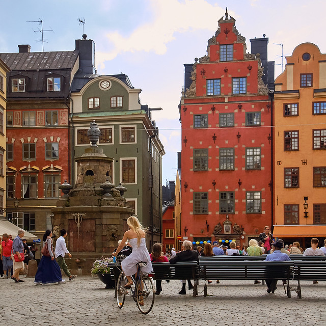
Stockholm

More papers about urban travel behavior:

USING STRUCTURAL EQUATIONS MODELLING TO UNRAVEL THE INFLUENCE OF LAND USE PATTERNS ON TRAVEL BEHAVIOR OF URBAN ADULT WORKERS OF PUGET SOUND REGION


Tuesday, August 27, 2019

Walking and Transit Use Behavior in Walkable Urban Neighborhoods

By Devon McAslan,

Urban transportation is one of the most important target sectors for creating more sustainable and livable cities. Many US cities are making huge investments in public transit infrastructure in efforts to lower automobile use, encourage compact development, and curb greenhouse gas emissions. This paper explores how differences in the urban environment impact walking and transit use and how urban residents utilize walking and transit as modes of transportation. I use data from neighborhood mapping, observations, surveys, and interviews to explore these two questions. I find that walking is indeed the main mode of transportation within the urban core of Seattle. In contrast to what mainstream urban planning literature would suggest, residents living in the dense urban core of Seattle do not appear to be transit dependent and continue to drive at higher than expected rates. To help explain this, I explore how the ‘theory of urban fabrics’ applies to walkability and transit planning. This new emerging theory encourages planners to rediscover how to prioritize different modes of transportation within different parts of the city instead of current trends, which advocate for multimodal and shared streets throughout the city. Evidence indicates that the most walkable neighborhoods are those that have the least number of conflicts between pedestrians, transit, and automobiles, and that the transit system in Seattle suffers because it is not prioritized over cars in any significant way. This reduces the likelihood that individuals will make the switch to transit over driving, which has important implications for transportation planning policies.


Kalamazoo is a Walkable Community Photo by Michigan Municipal League

More articles about walkability:

Urban Travel Behavior in Large Cities of MENA Region: Survey Results of Cairo, Istanbul, and Tehran


Saturday, January 25, 2014

A THEORETICAL APPROACH TO CAPABILITIES OF THE TRADITIONAL URBAN FORM IN PROMOTING SUSTAINABLE TRANSPORTATION

by Houshmand E. Masoumi

Influenced by the early to mid-twentieth century modernization, the Iranian cities experienced urban transformations that laid extensive effects on the social and physical human activities that have remained until today. Mobility is one of such issues that are broadly under the influence of the transformed urban form. This paper claims that the new Iranian urban planning encourages the city dwellers to drive personal cars because the neighborhoods and their centers lost importance after the urban form modernization efforts in 1930-1960. Neighborhoods with districts centers used to be basic elements of the traditional Iranian urban form. This study indicates the capabilities of the small-scale traditional urban forms like neighborhood arrangement in solving modern mobility problems. The theoretical approach that this study discusses over is that strengthening neighborhoods and Neighborhood Unit Centers (NUCs) can promote sustainable transportation, namely pedestrian travels. As a result the urban travels will be shortened and localized. The dominant view of automobile-oriented planning is needed to be replaced by a more humanist strategy, such as neighborhood-oriented planning. This ideology uses the neighborhoods to enhance sustainable mobility. To test this hypothesis, micro-scale and city-scale quantitative and empirical observations are suggested to prove the capacities of neighborhoods and their centrality in making the city-level travels more sustainable and decrease traffic congestion.

mroe about urban planning in Iran:

URBAN SPRAWL AND CLIMATIC CHANGES IN TEHRAN

Residential Self-Selection and Its Effects on Urban Commute Travels in Iranian Cities Compared to US, UK, and Germany

MODELING THE TRAVEL BEHAVIOR IMPACTS OF MICRO-SCALE LAND USE AND SOCIO-ECONOMIC FACTORS

Impact Assessment of Sustainable Public Transportation System on Quality of Life in Tehran


URBAN SPRAWL IN IRANIAN CITIES AND ITS DIFFERENCES WITH THE WESTERN SPRAWL


A new approach to the Iranian urban planning, using neo-traditional development

The Study of Land Use Changes in the Tehran Metropolitan Area by Using MOLAND Model


Distribution and Determining of Urban Sprawl in Kerman with Emphasis on Kariz Water System


URBAN PATTERNS FOR A GREEN ECONOMY: LEVERAGING DENSITY